
A Network of Kid Friendly Hikes in Oahu
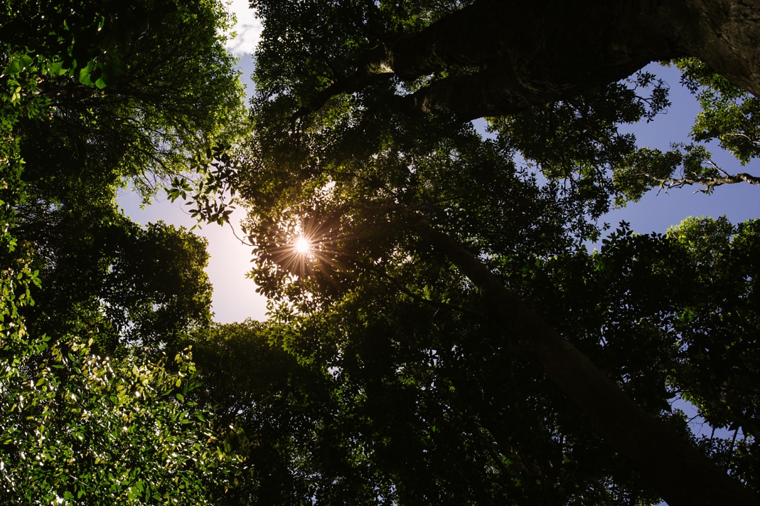
As we wound our way up Tantalus road under a dripping, tropical canopy, I felt transported far from the hustle of Honolulu and the threat of COVID-19. I rolled down the windows to the welcoming smell of eucalyptus and closed my eyes in the dappled sunlight. It was a relief to get out of the house after months of quarantine.
I did the quick math and realized with a shock that it had been almost 15 years since I had last visited Tantalus. We moved to the windward side after living and working in Makiki for years and I hadn’t been back. Looking at the peace and beauty around me, I wondered why.
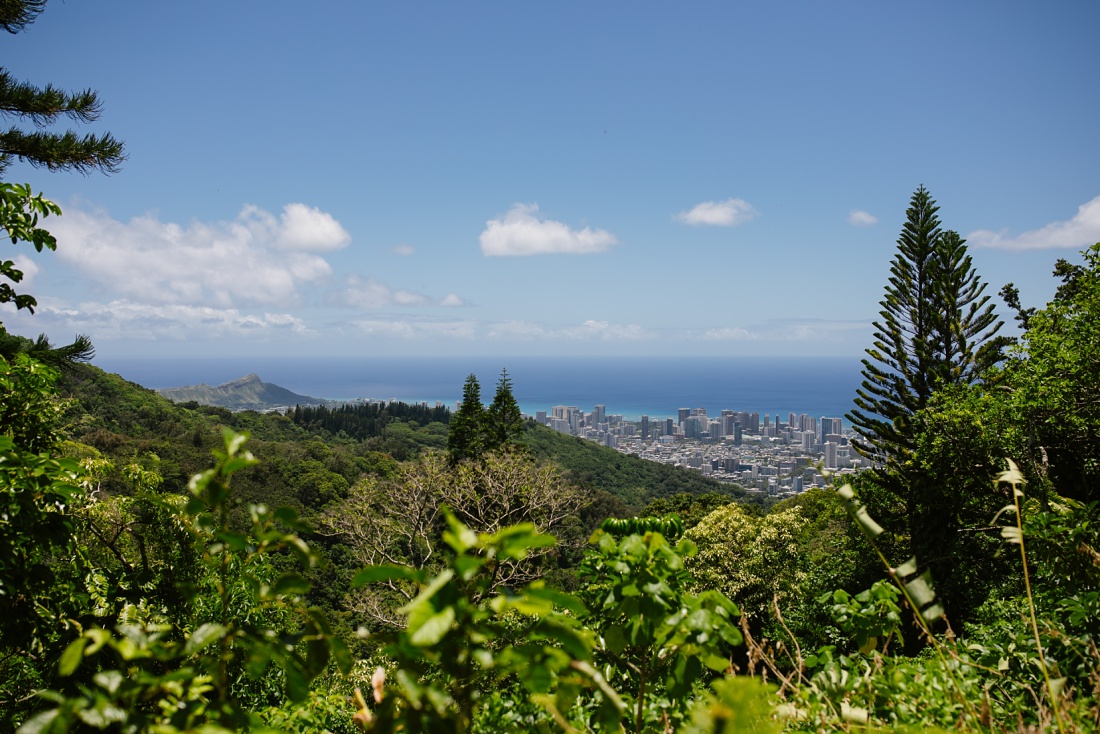
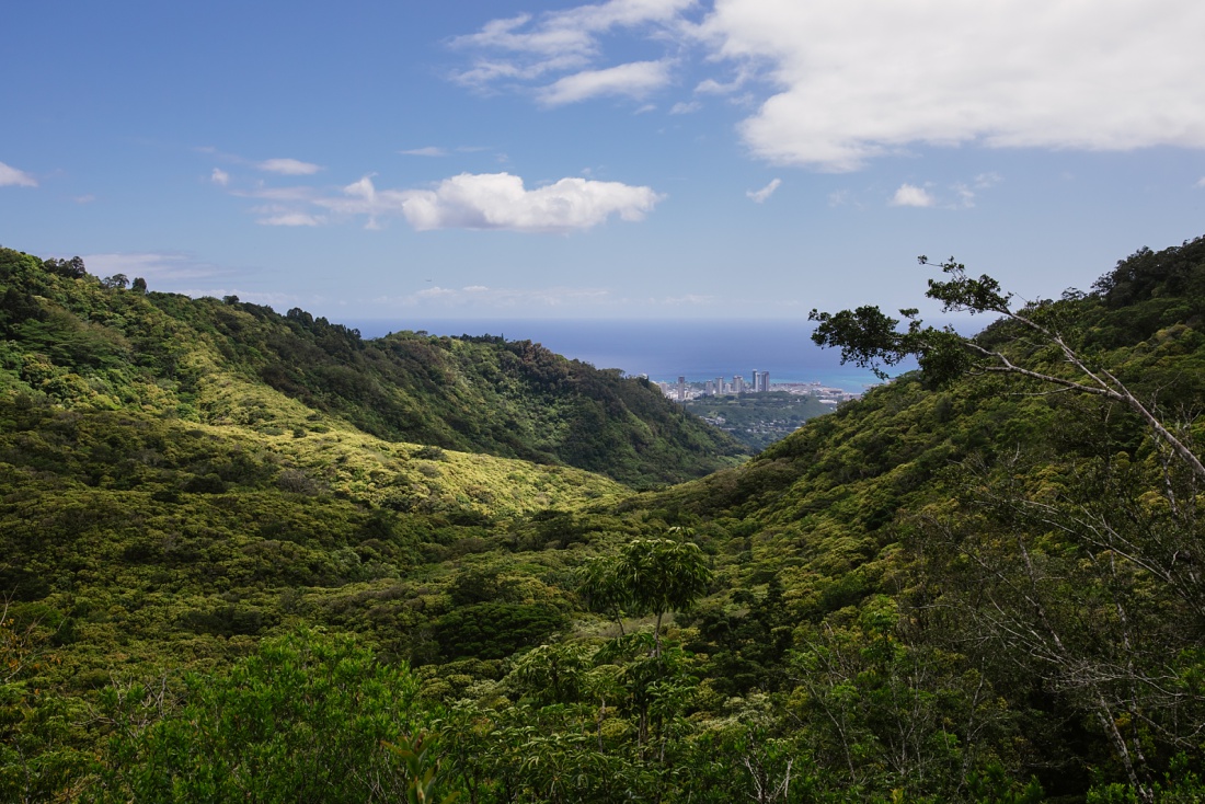
We passed ambitious bikers panting their way up the relentless hill and noted people taking in the views of Diamond Head and Waikiki at various pullouts along the way. As we climbed higher, signs for various trailheads flashed past along with sweaty hikers returning to their cars. The entire mountainside is home to a vast network of hiking trails from short strolls to arduous sweat baths. You can pick and choose and link various hikes together for a custom adventure.
The Kalawahine Trail
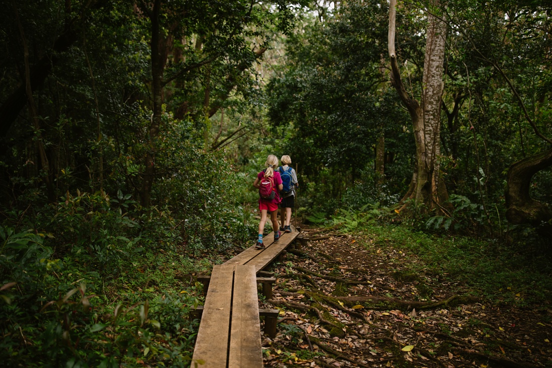
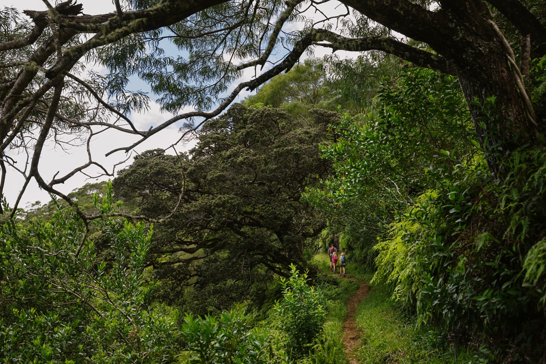
Our destination this particular Sunday was the Kalawahine Trail. I led tours on this trail and had fond, if foggy, memories of it. I remembered it being fairly short and mistakenly told the kids to expect a 3-ish mile hike. Why do I keep making that mistake?
Cars lined the narrow street as we approached the trailhead. Either the hike has become more popular or more people are anxious to escape into the wilderness like us.
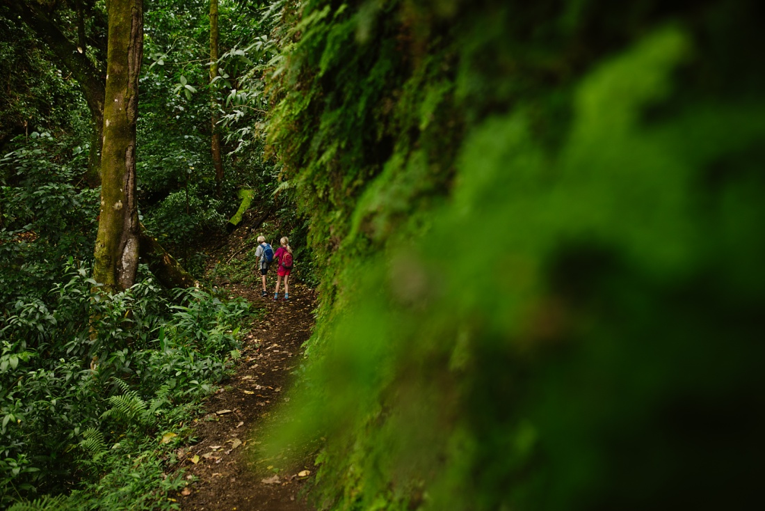
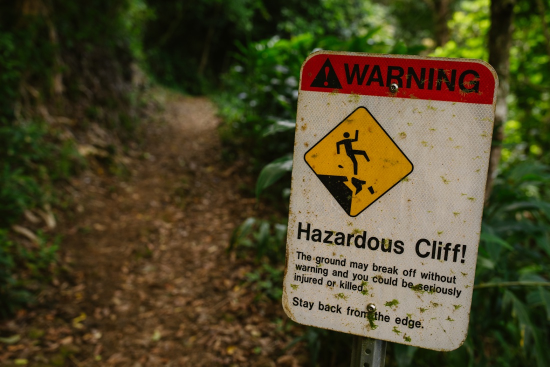
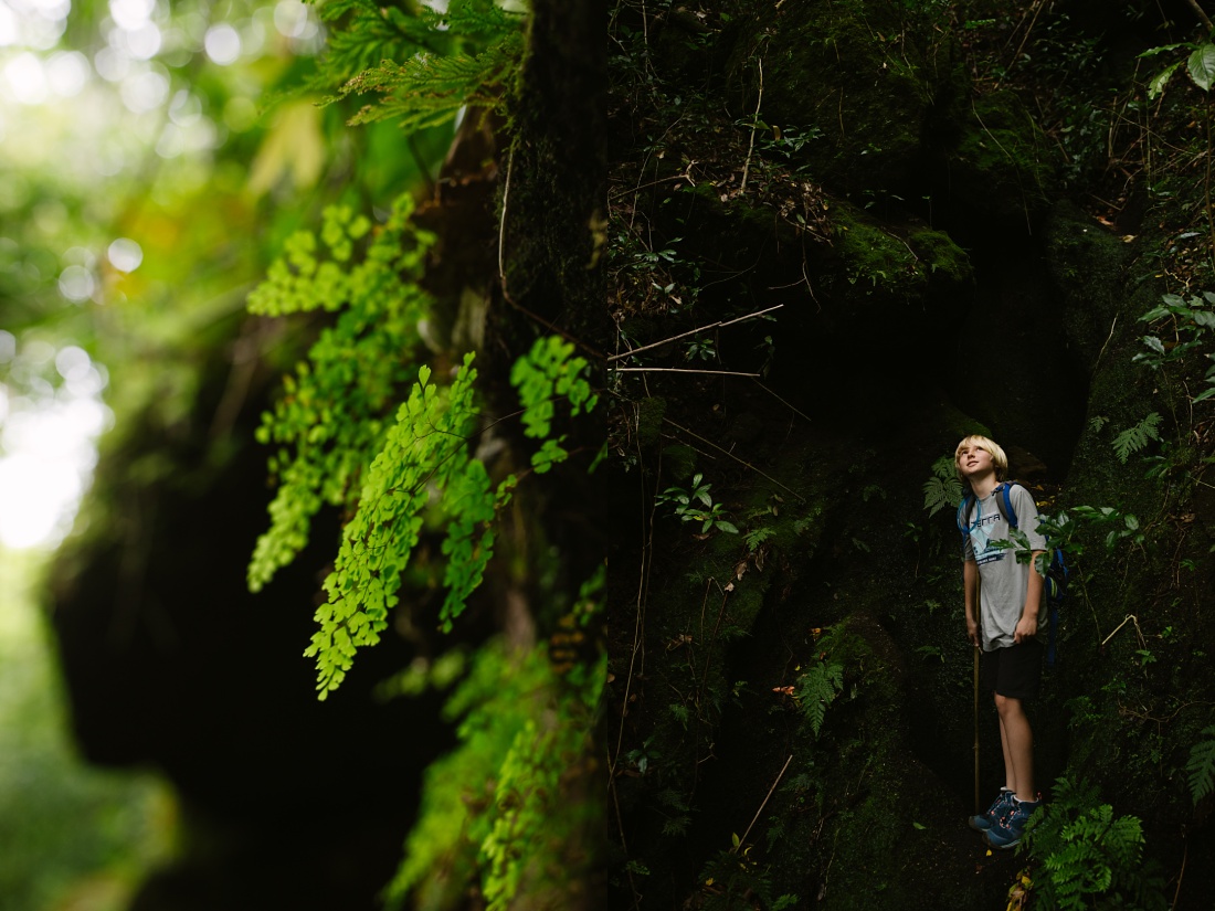
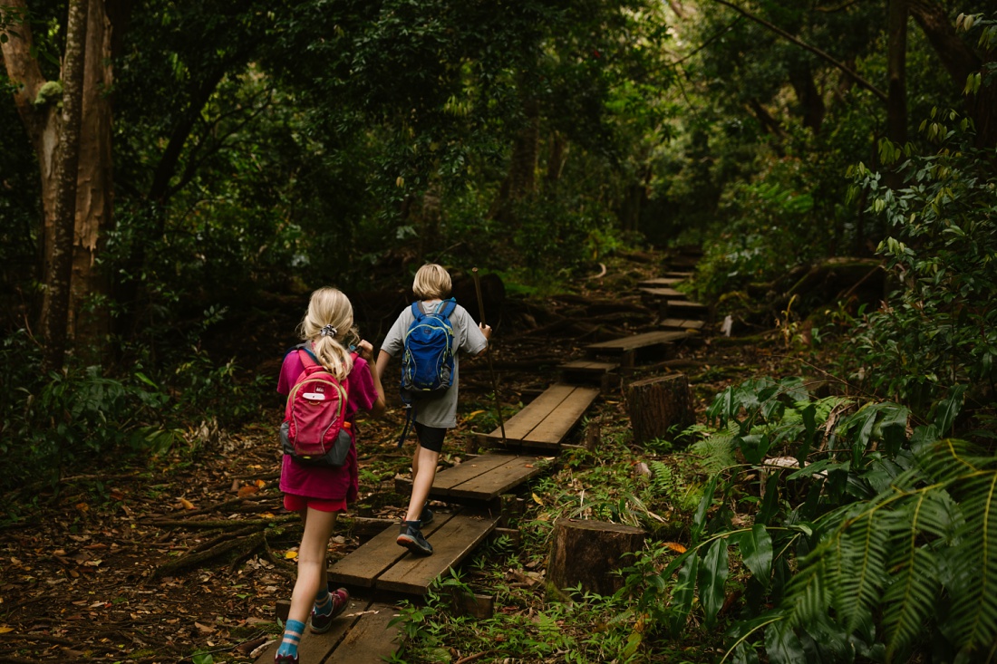
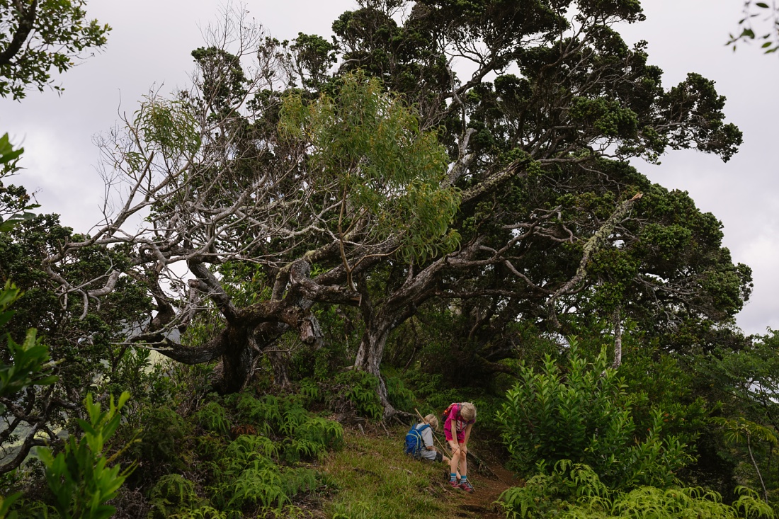
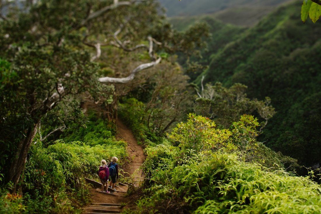
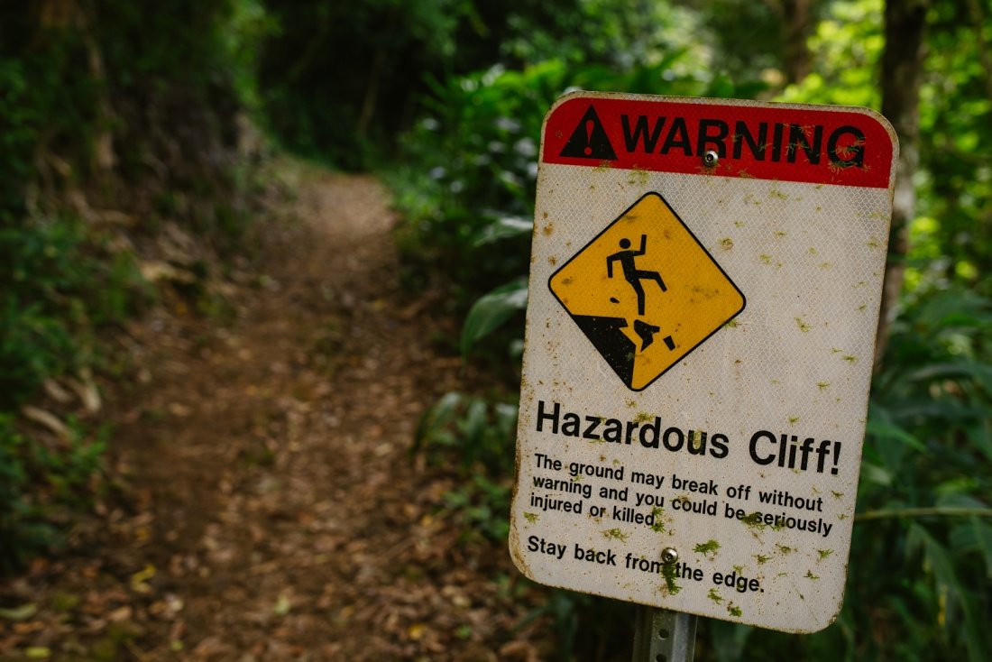
After taking in views of the city and ocean stretched out below, we hit the trail which is well maintained and clearly marked. There were some steep drop-offs, but otherwise it was easy and there was enough variety to keep pulling us further along the trail and into the forest.
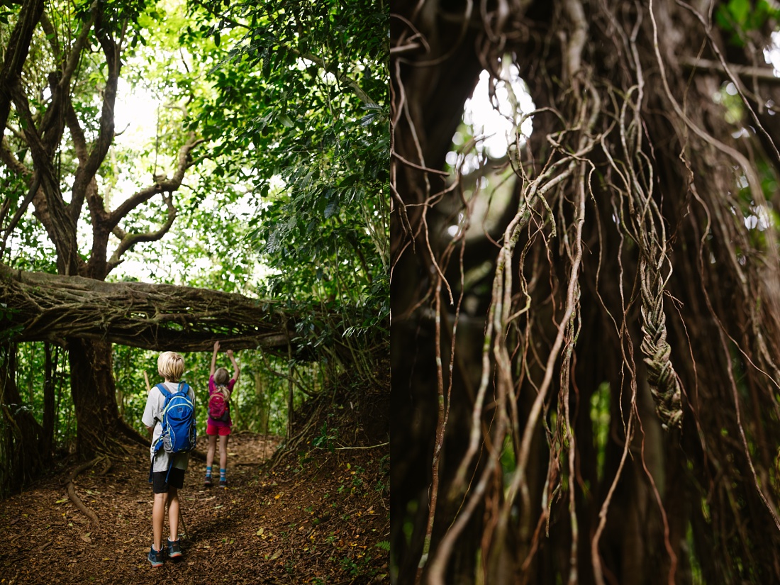
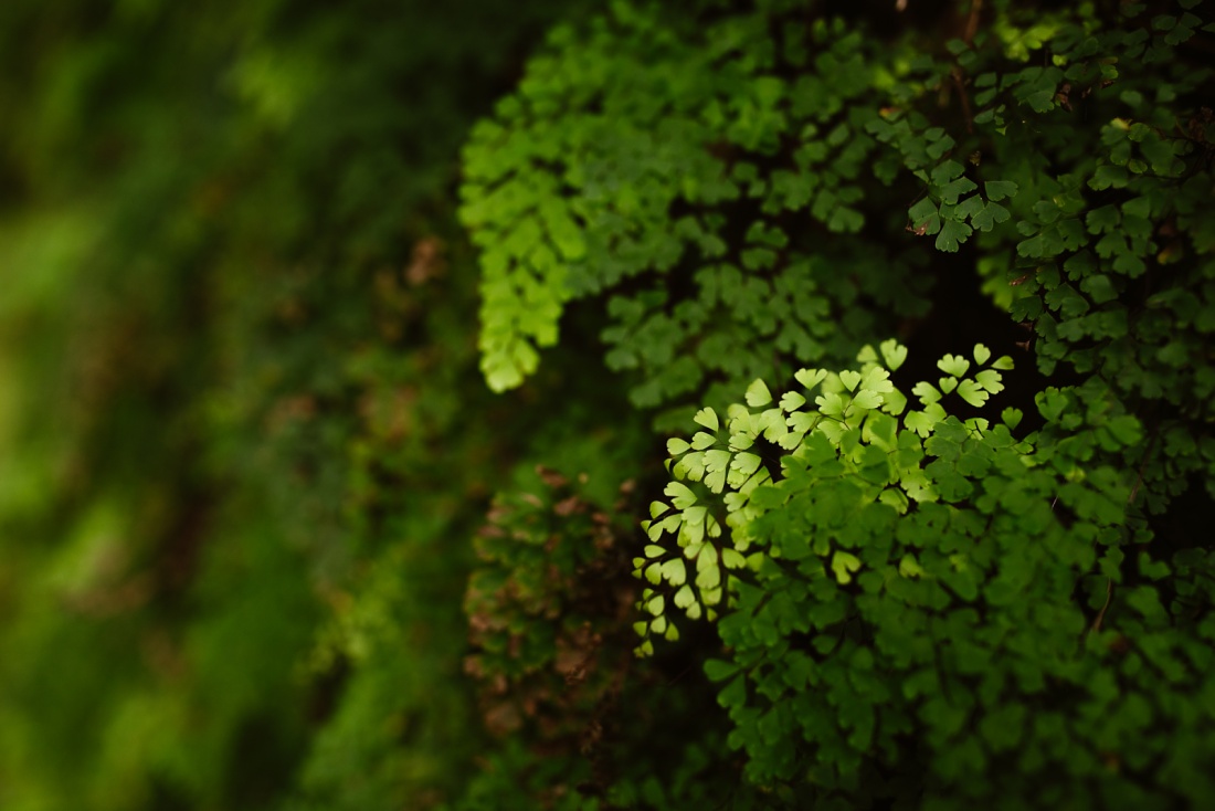
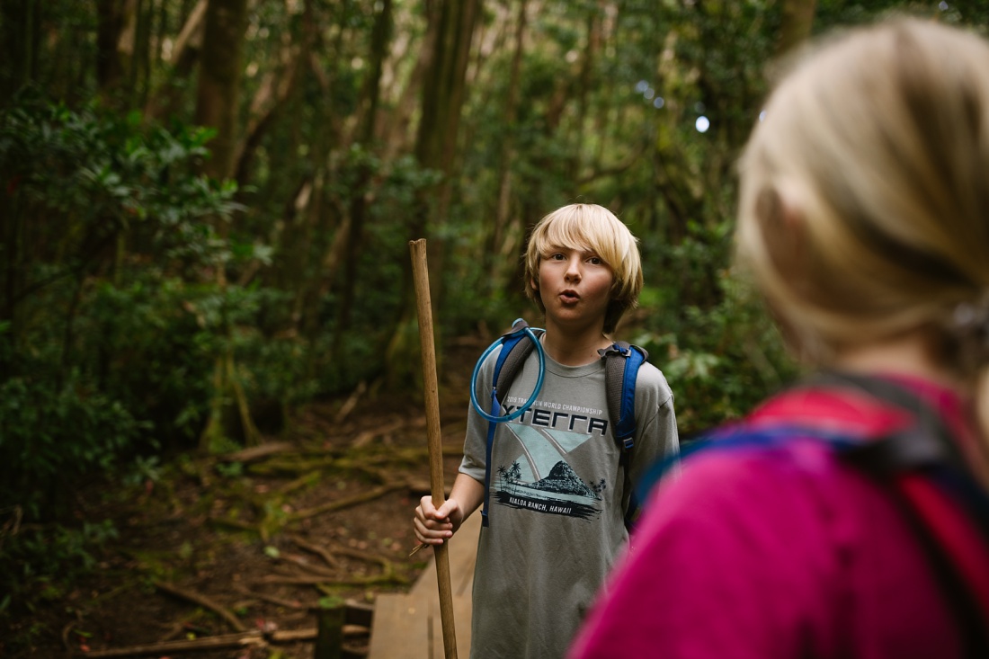
At the end of the Kalawahine Trail, you reach a T-junction and have to make a choice. We chose to head up to the ridge where I remembered seeing native plants and birds (‘Amakihi) many years ago. The kids groaned and protested but it was worth it so we added an extra loop on the way back for a combined distance of 5 miles.
Looking for More Oahu Family Adventures?
Want to add a waterfall to your family hike? Take the Kalawahine Trail to Pauoa Flats and head downhill via the Aihualama Trail to connect to popular Manoa Falls. It would make for a long hike! But you can also access the falls more directly from the Manoa Falls Trail. Find a map of hiking trails in the area here to choose your own adventure.
For more kid-friendly hikes in Oahu, sign up for the Little Bird Post below. You’ll receive monthly updates with ideas that take you off-the-beaten path.



Off The Beaten Path
Get my top ten list of spots in Oahu complete with photos + directions, so you know exactly what to expect. You’ll also receive ongoing adventures, beautiful images and happy updates. Escape to the islands once a month and learn exactly how to enjoy Hawaii like someone who raises their family here!
Get on the list