
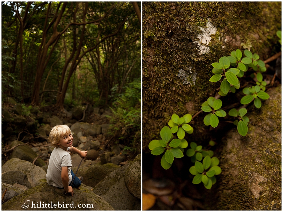
Maunawili Trail Oahu | A Family Guide to One of Windward Oahu’s Best Hikes
March 25, 2026
The Maunawili Demonstration Trail is a point-to-point trail on Oahu’s windward side that follows the base of the Koolau Mountains from the Pali Highway to Waimanalo, about 9 miles one way. It passes through dense rainforest, bamboo groves, and stream crossings, with sweeping views of the windward coast opening up along the way. You don’t need to hike the whole thing. The first 2 to 3 miles from the Pali Highway trailhead is one of the better family hikes on the island and the section we come back to most often. The trail also connects to Maunawili Falls via a connector trail about 2 miles in, which is now the primary access route to the falls since the direct Maunawili trailhead closed.
Maunawili Trail
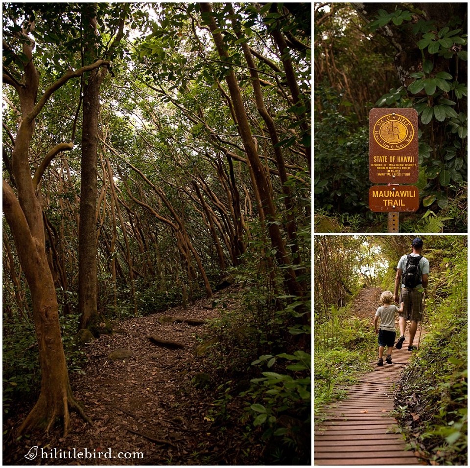
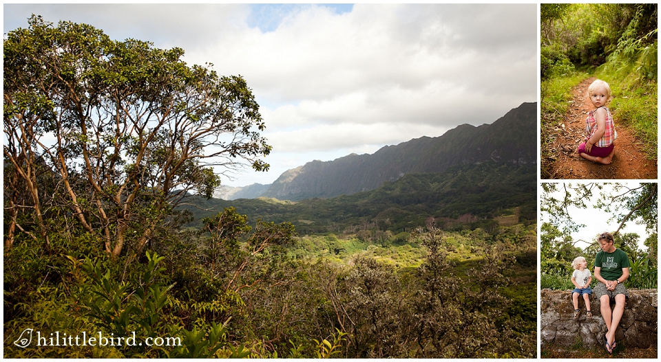
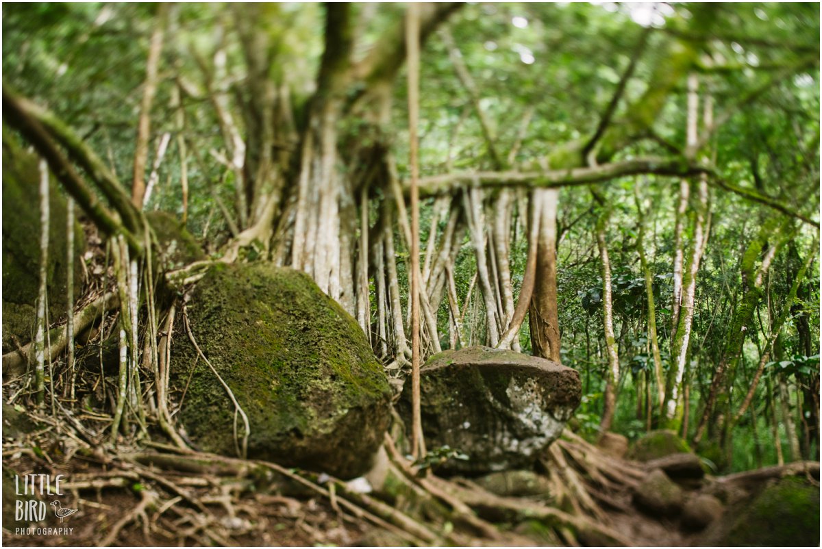
The Maunawili Trail is one of those hikes that rewards you immediately and keeps pulling you further. Dense canopy, vines, bamboo, guava trees you can snack from along the way. The trail winds in and out of valleys, crosses small streams, and offers close-up views of the Koolau Mountains that feel almost shocking. You don’t expect to be that close. When the vegetation opens up, you get the full windward panorama: Olomana’s three peaks, the valley floor, Kailua and Waimanalo all the way to the water.
We’ve hiked the first 2 to 3 miles from the Pali Highway more times than I can count, usually with our dog, usually within the 2-hour parking window. The trail keeps pulling us further every time. We haven’t made it all the way to Waimanalo yet, though now that our son can drive we at least have a ride waiting on the other side if we ever commit to the full length.
How Far Should You Go?
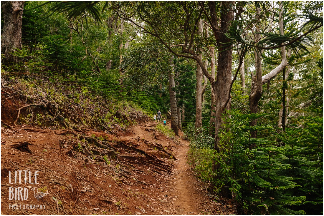
At 9 miles one way, the full Maunawili Trail is a serious undertaking. But you don’t need to do the whole thing to get the best of it. The first 2 to 3 miles from the Pali Highway trailhead are well maintained, relatively flat, and genuinely beautiful. This is the section that works well for families with kids. Turn around whenever you want. The trail doesn’t penalize you for a shorter outing.
The middle section from around mile 3 to mile 7 is less maintained, narrower, and more overgrown. The uluhe fern gets grabby and the trail gets slippery. It’s rewarding but not a casual walk. From around mile 7 the trail opens up again and is straightforward to the Waimanalo end.
If you want to add Maunawili Falls to the hike, the connector trail branches off about 2 miles in. See the Maunawili Falls guide for current access details and what to expect.
Preparing to Hike the Maunawili Trail
Where to park
The most convenient starting point is the hairpin turn parking lot on the Pali Highway. Important: parking is limited to 2 hours. If you’re planning a longer hike, get dropped off or arrange a pickup. Break-ins are common here. Leave nothing in your car. Follow the inside of the guardrail from the lot until you reach the official trailhead.
Alternatively, you can start from the Likeke Falls trailhead, which has paid parking (open 9am – 4pm). From there, take the path down to the Old Pali Road, walk up the road, pass under the Pali Highway, climb the ladder, and follow the trail south until you connect with the Maunawili Demonstration Trail. It extends your hike but the approach is worth it. The junction is easy to miss. Download an offline map before you go.
If you plan to hike the full length to Waimanalo, arrange transportation on the other end. It’s a one-way trail and doubling back adds 9 miles.
On the trail
The first 3 miles or so from the trailhead at the Pali Highway is fairly easy and well maintained. This is the section we most often hike as a family. The next 4 miles are less visited and the trail is more slippery, narrow, and overgrown. Finally, the trail opens up again around the 7 mile mark and easy to the end of the Maunawili Trail in Waimanalo.
If you’re short for time I suggest hiking the first few miles to get the lush rewards and great views before turning back.
What to bring
Footwear. Trail running shoes with good grip are ideal for most Hawaii hikes, including this one. The trail gets muddy and the stream crossings are unavoidable. Light and flexible beats waterproof every time.
Sunscreen. Parts of the trail are exposed. Use reef-safe sunscreen. Most sunscreen sold at drugstores contains chemicals that damage coral reef ecosystems. Hawaii banned several of them in 2021. They’re not great for humans either. Skip the aerosol.
Water and snacks. More than you think you need. The hike takes longer than expected and there’s no water source along the trail you can safely drink from.
Protection. The uluhe fern in the middle section can scratch up your legs and arms if the trail hasn’t been maintained recently. Lightweight pants and a long-sleeved shirt are worth it for the longer stretches.
Navigation. Use AllTrails for the current route and trail conditions. Download the map offline before you go. Cell service is unreliable along the trail. This matters especially if you’re connecting to Likeke Falls or the Maunawili Falls connector.
For kids. The geocaching app is a reliable anti-whine strategy on longer stretches. There are caches along the route.
After the Hike: Head into Kailua Town
The Pali Highway will drop you in the direction of Kailua, which is exactly where you want to be after a muddy morning on the trail.
Beach. Kailua Beach Park is the obvious choice. It has showers, bathrooms, and enough beach to spread out and decompress. If you want something quieter, Castles at the north end of Kailua Beach is a good fallback with fewer people and the same views (but no bathrooms and a longer walk).
Food. Easy Que for something hearty, a casual sit-down spot that super tasty and will surely fill you up. Foodland for a quick poke bowl and musubi if you want to keep it casual. Either way, end with shave ice at Island Snow. Get the real fruit syrups and don’t skip the ice cream at the bottom.
Family Photos in Kailua
Some families aren’t photo families. They’re hiking families, beach families, kids-covered-in-mud families. Curious what that looks like with a camera involved? You can see what a morning adventure looks like here, here, and here. And if it looks like something your family would be into, here’s where to start.
Maunawili Trail FAQs
Q: How long is the Maunawili Trail?
A: The full trail is about 9 miles one way from the Pali Highway to Waimanalo. Most families hike the first 2 to 3 miles from the Pali Highway trailhead and turn back, which takes about 2 hours and covers the best scenery. If you want to add Maunawili Falls, plan on at least 6 miles round trip.
Q: Is the Maunawili Trail good for kids?
A: Yes, for the first 2 to 3 miles. The trail is well maintained, relatively flat, and full of rainforest, bamboo, and stream crossings that kids love. Beyond that it gets narrower, more overgrown, and more demanding. Turn around when it stops being fun.
Q: Where do you park for the Maunawili Trail?
A: The most convenient parking is at the hairpin turn on the Pali Highway. Parking is limited to 2 hours, so plan accordingly; get dropped off if you’re hiking longer. Break-ins are common here. Leave nothing in your car. Alternatively, park at the Likeke Falls trailhead which has paid parking and is open from 8:00 am to 4:00 pm.
Q: Can you hike from the Maunawili Trail to Maunawili Falls?
A: Yes. The Maunawili Falls Connector Trail branches off about 2 miles from the Pali Highway trailhead. The direct Maunawili Falls trailhead has been closed since fall 2023, so the Demo Trail is now the primary access route to the falls. See the Maunawili Falls guide for full details.
Q: Can you connect the Maunawili Trail to Likeke Falls?
A: Yes, though it requires navigation and an offline map. The connection between the two trails is easy to miss if you’re unfamiliar with the area. Download the AllTrails map before you go and check trail conditions. It makes for a rewarding longer outing if you’re prepared.









Off The Beaten Path
Get my top ten list of spots in Oahu complete with photos + directions, so you know exactly what to expect. You’ll also receive ongoing adventures, beautiful images and happy updates. Escape to the islands once a month and learn exactly how to enjoy Hawaii like someone who raises their family here!
Get on the list